Cart
0
Product
Products
(empty)
No products
To be determined
Shipping
R0
Total
Product successfully added to your shopping cart
Quantity
Total
There are 0 items in your cart.
There is 1 item in your cart.
Total products
Total shipping
To be determined
Total
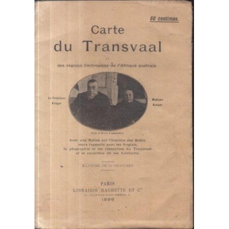
Carte du Transvaal et des Regions Limitrophes de l'Afrique Australe
Chesneau, MariusUsed
WOODSTOCK: Maps (Maps)
1 Item
Warning: Last items in stock!
More info
French Map of Transvaal from 1899 with a corresponding French note on the Boer War. Folded map, portrait of madame and president Kruger on front cover.
French. Librairie Hachette. 1899. In slightly worn wraps, there is paper loss at the top of the Transvaal section, map has been reinforced a little. Book No: 2502349
Reviews
No customer reviews for the moment.


