Cart
0
Product
Products
(empty)
No products
To be determined
Shipping
R0
Total
Product successfully added to your shopping cart
Quantity
Total
There are 0 items in your cart.
There is 1 item in your cart.
Total products
Total shipping
To be determined
Total
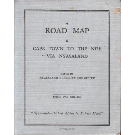
A Road Map Cape Town to the Nile via Nyasaland
Nyasaland Publicity CommitteeUsed
WOODSTOCK: Maps (Maps)
This product is no longer in stock
More info
Folding Map. English. Hortors Limited. No date ca 1929.
In good conditionwith some foxing.
Travelling map 46 x 60cm folding into blue-grey card case 13 x 17cm. Covers Cape Town to Sudan via the Great Lakes with inset of Road System Nyasaland Protectorate scale 1 inch = 27 miles, from Port Herald to Abercorn. Details include inter-territorial route (in red), all weather roads, seasonal roads, railways, Lake Steamer route, hotels, petrol rest houses, telegraph, aerodromes, towns and settlements, (emergency) landing grounds etc.
Reviews
No customer reviews for the moment.


