No products
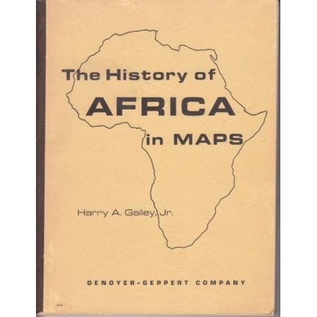
The History of Africa in Maps
Gailey, Harry A.Used
OBZ: Maps (Maps)
This product is no longer in stock
More info
19th century Algeria Angola approximately Arab Ashanti Atlas Bantu began Belgian Benue Berber Blue Nile Boers Bornu Brazzaville Britain British Bushmen Cameroun Cape Colony CATARACT central century A.D. Chad Changamire cities coastal Congo Dahomey desert early East Egypt empire established Ethiopia European exploration Fanti French Fula Fulani Galla Gambia Ghana Gold Coast Guinea Hausa highlands independence interior invasions Islam Ivory Coast Kano Kasai Katanga Kenya Khartoum king kingdom LAKE BANGWEULU Lake Victoria Limpopo Lualaba Luba major Mali MOROCCO Mossi Mutota Natal Negro Ngoni Niger River Nigeria northern NUPE Orange Pleistocene political population Port Portuguese Pretorius rainfall Republic Rhodesia rift ROZWI Sahara savanna Segu Semitic Senegal Sierra slave trade Sokoto Somali SOMALILAND Songhai South Africa South-West Africa southern Africa Speke square miles Stanley Sudan territory Timbuctu TOGO trekkers tribes TROPIC Uganda Upper Vaal West Africa western Sudan YORUBA Zambesi ZANZIBAR Zulu.
Softcover. English. Denoyer-Geppert. 1967. ISBN: 0. 96 pp. Good in lightly worn wraps. Book No: 2506432
Reviews
No customer reviews for the moment.


