Cart
0
Product
Products
(empty)
No products
To be determined
Shipping
R0
Total
Product successfully added to your shopping cart
Quantity
Total
There are 0 items in your cart.
There is 1 item in your cart.
Total products
Total shipping
To be determined
Total
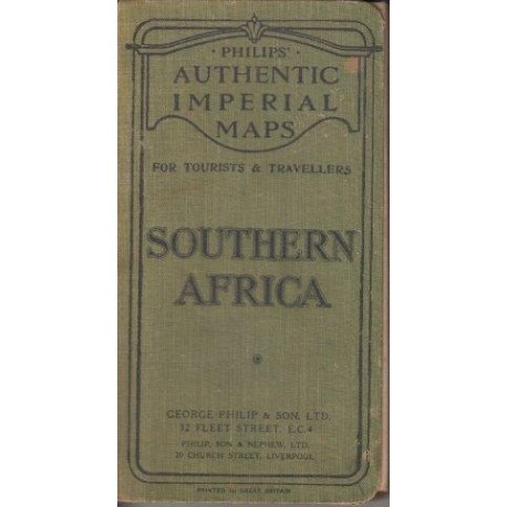
Southern Africa (Philips Authentic Imperial Maps)
George Philip & SonUsed
OBZ: Maps (Maps)
This product is no longer in stock
More info
Notes: Map of Southern Africa at the late nineteenth century, produced for the London Geographical Institute. Shows in fine detail South Africa, including its provinces the Cape of Good Hope, Orange Free State, Basuto Land, Zulu Land, Swazi Land, as well as Bechuanaland, Matabele Land, currently known as Botswana, and Zimbabwe.
Linen map. English. George Philip & Son, London Geographical Institute. ca 1890s. Item No: 2504661
Reviews
No customer reviews for the moment.


