No products
 View larger
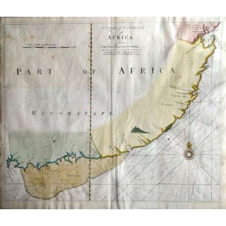
A Draught of the South Part of Africa from Cape Bona Esperance to Delagoa
Thornton, Samuel & Mount, William & Page, ThomasUsed
WOODSTOCK: Maps (Maps)
This product is no longer in stock
More info
This is (probably) the scarce William Mount and Thomas Page edition of the chart first produced c. 1703-1707 by Samuel Thornton. Part of Thorntons original imprint can still be seen at the left of the text commencing Carefully. Thorntons edition was published in his rare and scarce composite Sea Atlas. This later edition is not in Tooley or Norwich; the map probably was issued separately in 1745 by Mount and Page, the successors of Samuel Thornton and his son John. This is a scarce chart I have not been able to find another extant copy of this edition and only one of Thorntons edition (in the New York City Public Library) ... others are facsimiles. The top layer of the paper shows some creasing and there are also some small dots of staining at the top left. Reference Tooley's Collector's Maps of Africa (p.105), the first state by Thornton at 1716).
Map. English. Mount & Page. 1745. 52.4 x 29.7cm. Book No: 2503569
Reviews
No customer reviews for the moment.


