Cart
0
Product
Products
(empty)
No products
To be determined
Shipping
R0
Total
Product successfully added to your shopping cart
Quantity
Total
There are 0 items in your cart.
There is 1 item in your cart.
Total products
Total shipping
To be determined
Total
 View larger
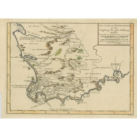
Das Land der Hottentoten an dem Vorgebirge der Guten Hoffnung
Bellin, Jacques NicolasUsed
WOODSTOCK: Maps (Maps)
This product is no longer in stock
More info
A beautifully engraved copper-plate map of the Cape of Good Hope from Saint Helena Bay to Mossel Bay. Dutch settlements are mostly confined along the coast and southern regions. The inland regions are depicted as deserts, savannas, forests and mountain ranges with tribal names indicated and a few Boer colonies. Deutsch/German. Allgemeine Historie der Reisen. 1754 (circa). ISBN: 0. . Good condition, uncoloured with fodls still present. Book No: 2503243
Reviews
No customer reviews for the moment.


