No products
 View larger
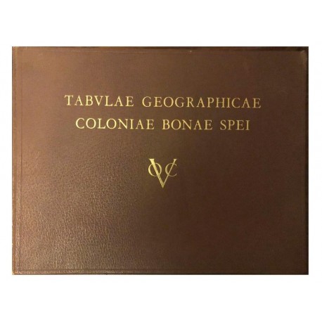
Tabulae Geographicae Coloniae Bonae Spei
Koeman, C.Used
WOODSTOCK: Maps (Maps)
This product is no longer in stock
More info
A fine volume of early South Africa cartography, including maps by Barrow, Brink, Cloete, Hop's Expedition, Leysten and Lichtenstein, dealing with the West Coast and Namaqualand, among others. 41 pp text with 10 folding maps in colour, 10 comparative superimposed maps, and one large, folding general map of the Cape Colony by Governor C J van der Graaff.
Hardcover. English. HAUM. 1952 1st ed. ISBN: n/a. 41 pp text with 10 folding maps in colour, 10 comparative superimposed maps, and one large, folding general map of the Cape Colony by Governor C J van der Graaff. PLEASE NOTE the map in rear pocket is a facsimile copy.
Good condition in hardcover, oblong folio size, with gilt titling on front cover. Front corner of prelims bent with exterior edges of 2 of the folding maps edgeworn Book No: 2502034
Reviews
No customer reviews for the moment.


