No products
 View larger
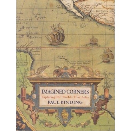
Imagined Corners: Exploring the World's First Atlas
Binding, PaulUsed
WOODSTOCK: Maps (Maps)
This product is no longer in stock
More info
Published in Antwerp in 1570, the Theatrum Orbis Terrarum did something no previous book had done: here was the world in all its component parts, the chance to see out planet as a place of staggering variety and ultimate unity. The world's first-ever atlas was the brain-child of Abraham Ortelius; it reflected the great vitality of the era, the prevailing zest for exploration and discovery and the linked activities of commerce and map-making. It was a work born of collaborative friendships: Ortelius' circle included two key figures of the age - printer Christophe Plantin and geographer Gerard Mercator. and brings vividly to life the Antwerp that produced Ortelius and his momentous work.
Hardcover. English. Headline Review. 2003. ISBN: 0747230404. 314 pp with colour maps. Good condition in hardcover with dw. Book No: 2002382
Reviews
No customer reviews for the moment.


